


Aerial Photography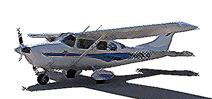
LEICA DMC LARGE FORMAT MULTI-SENSOR DIGITAL MAPPING CAMERA
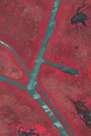
with the ability to capture Color, Color IR and Panchromatic images.
Z/I DMC Camera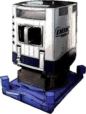
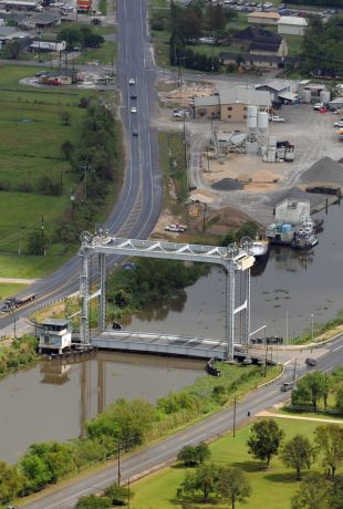
Intergraph's digital cameras support aerial surveys for a wide range of mapping, geographic information systems (GIS), and remote sensing applications.
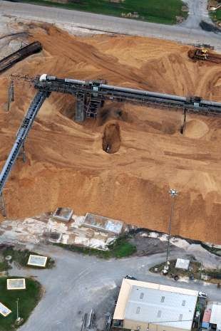
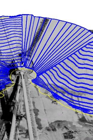
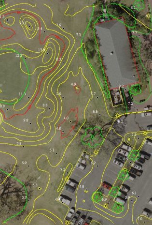
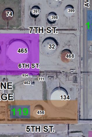
Mapping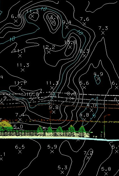
Whether it is topographic mapping, planimeteric mapping or volume calculations. Gulf Coast Aerial Mapping Co., Inc. will meet your needs. When it is about the accuracy, we have the equipment and experienced staff necessary to produce the accuracy your project requires.